


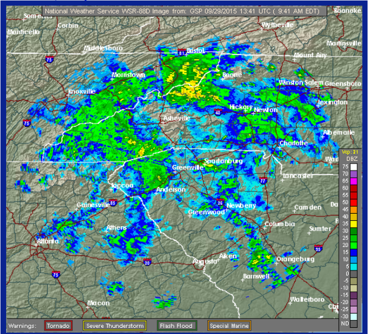
UPDATE: Just after 11 a.m., the National Weather Service issued a special weather statement, saying, “Heavy rain showers will continue to impact portions of Madison and Buncombe counties. … At 11:02 a.m., doppler radar was tracking a swath of heavy rain showers spreading North across the advised area. Very heavy rainfall rates of up to 2 inches per hour will be possible. Be wary of reduced visibilities, ponding of water on roads and elevated stream levels.”
Locations impacted: Downtown Asheville, Marshall, East Asheville, Arden, West Asheville, North Asheville, Black Mountain, Woodfin, Fletcher and Swannanoa.
According to the National Weather Service, “Tropical moisture associated with a weak disturbance across the Northern Gulf of Mexico will persist over the Western Carolina [region] today. A persistent easterly low level flow is expected to result in increasing coverage of moderate to heavy rain showers across the area through the morning.
“Rainfall rates with some of these showers could be enough to produce flash flooding, especially in locations near the Blue Ridge escarpment that have seen heavy rainfall since last week.”
Counties affected by the flood watch are Alexander, Avery, Buncombe, Burke, Caldwell, Henderson, Mitchell, McDowell, Rutherford, Polk and Yancy.
“Stream flows in these areas are running much higher than normal after several days of moderate to heavy rainfall,” continues the NWS release. “Only a couple of inches of rain in one to two hours will be necessary to produce flash flooding in these areas.”
The watch is in effect until 6 a.m. Wednesday morning.
The NWS advises that those situated “along smaller streams and tributaries” be especially alert for flooding, as those areas are prone to “rapid rises in response to localized very heavy rainfall” — though “flooding may also occur in urbanized areas due to poor drainage.”
According to the NWS, today’s high is 72 with a low of 63, with an 80 percent chance of rain until later this evening, when it will drop to 60 percent. Rain is expected to persist until the end of the week, clearing up by Saturday night.
Before you comment
The comments section is here to provide a platform for civil dialogue on the issues we face together as a local community. Xpress is committed to offering this platform for all voices, but when the tone of the discussion gets nasty or strays off topic, we believe many people choose not to participate. Xpress editors are determined to moderate comments to ensure a constructive interchange is maintained. All comments judged not to be in keeping with the spirit of civil discourse will be removed and repeat violators will be banned. See here for our terms of service. Thank you for being part of this effort to promote respectful discussion.