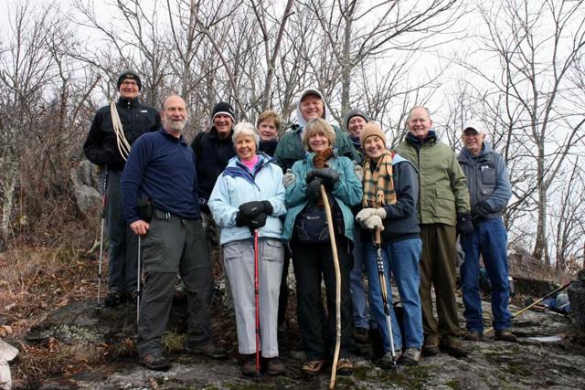
There are few things that foster a more satisfying sense of wellness than a hike in the mountains. Here in Western North Carolina, of course, we have no shortage of such opportunities. Among the more unusual options is the Swannanoa Rim Explorer hiking series.
The tour gives participants a chance to trek the entire ridgeline that circles the Swannanoa Valley, from Jesse’s High Top through Ridgecrest and Montreat up to the Blue Ridge Parkway and down to Cedar Cliff (above Camp Rockmont). Eleven monthly day trips will cover 51 miles all told. Much of the route traverses land that’s normally off-limits to the public, and it includes remote bushwhacking treks through the Asheville watershed as well as jaunts along maintained trails.
Sponsored by the Swannanoa Valley Museum, these excursions are designed to be educational and to raise funds.
"These aren't just hikes: You learn a lot," explains Van Burnette, one of the guides for the series. "We're all quite knowledgeable in the history of the valley. We do our research."
Retired Black Mountain resident Sharon Stenner can attest to that knowledge. One of 12 hearty souls who completed the entire series last year, she says the guides know "everything about every little mountain. They know names, they know stories, the history, the flora and fauna; it's just wonderful."
One of the most diverse natural environments in the Southeast, it encompasses Southern-hardwood, Northern-deciduous and spruce-fir forests that collectively feature some 50 species of trees and 1,000 kinds of flowering plants.
"Some of the trails, it's like going from here to Canada in an hour," notes organizer and guide Wendell Begley. "They get over 9 feet of snow up there on the high ridges a year: over 80 inches of precipitation." Compare that to the roughly 14 inches of snow and 48 inches of precipitation typically seen in neighboring Black Mountain, which sits in the valley at an elevation of 2,400 feet. The highest point on the hiking route is Potato Kno,b at 6,410 feet.
These outdoor adventures are especially fulfilling, notes Stenner, because they unfold so close to home. "If you stand down here in the middle of Black Mountain and you look up, you can see this big rim going all the way around. I can stand down here now and say: 'I did that. See all those ridges up there? I hiked that.'"
Organizers recommend bringing lunch, snacks and water along with appropriate clothing. But because the guides take such good photos (and share them via a Picasa Web Album), Stenner says she doesn't see much need to tote her own camera.
"After the hikes, I often go home and soak in the tub because I'm so sore,” she explains. “I know that when I get out, those pictures are already up there, so we can look at all of them and revisit the day. The views are gorgeous."
And though Stenner says it takes determination to get through some of the tramps, she believes it's well worth it.
"Some days I was really tired," she recalls. "But it gives you such a feeling of satisfaction to do it. When we came to the last one, and I heard it was eight miles, I said: 'I don't care. If I have to crawl, I'm going to do this hike, because I'm going to finish it."
— Jake Frankel can be reached at 251-1333, ext. 115, or at jfrankel@mountainx.com.


In this article I incorrectly reported that the Swannanoa Rim Explorer hiking series includes “bushwhacking treks” through the Asheville Watershed. Organizers contacted me to clarify that the group follows the Mountains-to-Sea Trail when hiking along the Watershed property. Sorry about that.