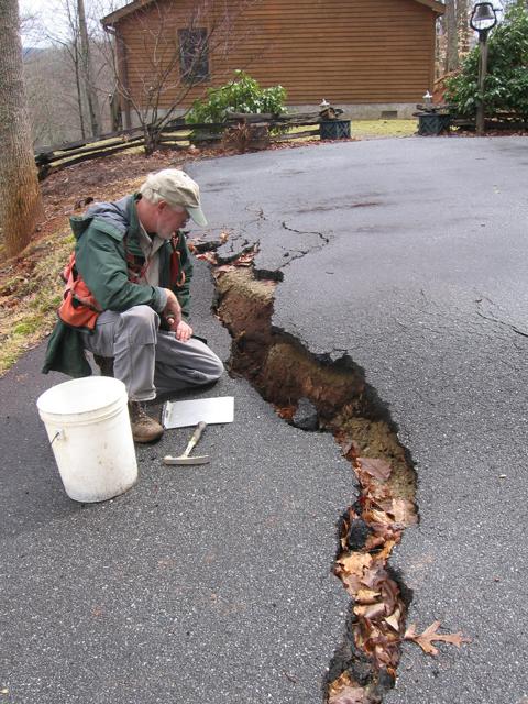
Disaster mappers: DENR geologist Rick Wooten examines a large crack that opened in a Macon County driveway when the slope on which it was built slipped last spring. The house beyond was later condemned. DENR’s Landslide Mapping Program helps property owners avoid building in landslide-prone areas, but its future is uncertain. Photo courtesy of NC Geologic Survey
Both comments and trackbacks are currently closed.


