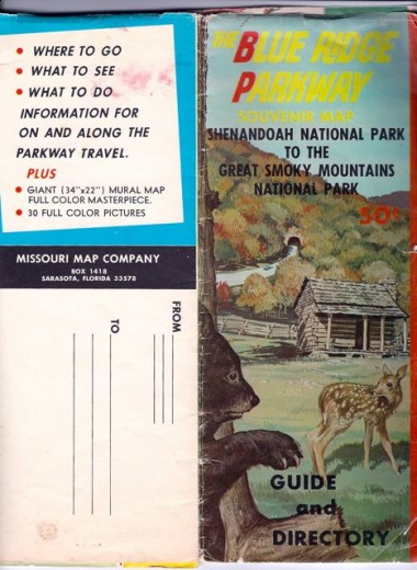
One morning a few months ago, I found this 1970s Blue Ridge Parkway map lying on the dining room table.  I shouldn’t have been surprised: My mother keeps just about everything, and she produced this old map after rummaging through some of her things. The map’s taped together along some of the torn seams, but it’s otherwise a priceless throw-back to a time that’s passed. And yet…
This Parkway map was published by  The Missouri Map Company in Sarasota, Florida, and cost a mere 50 cents. It covers all 469 miles of the scenic “Vacationland” route, as well as the 103-mile Skyline Drive that winds through the Shenandoah National Park in Virginia.
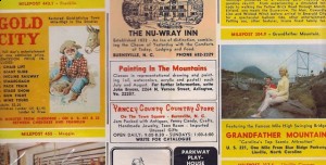
Many of the attractions it lists remain — from Crabtree Meadows to the swinging bridge at Grandfather Mountain, or the Tweetsie Railroad and Mount Pisgah. But the clothing styles… totally retro.


slow news day?
an image that was actually viewable would be helpful.
slow news day? Probably.
viewable image? How so? Alas, I don’t have a mega-scanner on hand to digitalize the entire map….
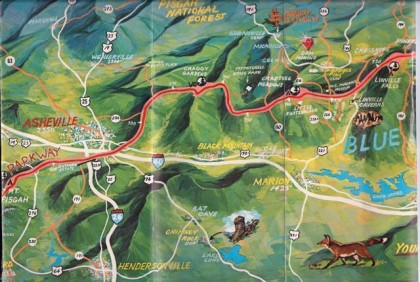
Hmmm, looks like I-26 stopped at and intersection with US 70…and 240 wasn’t built yet.