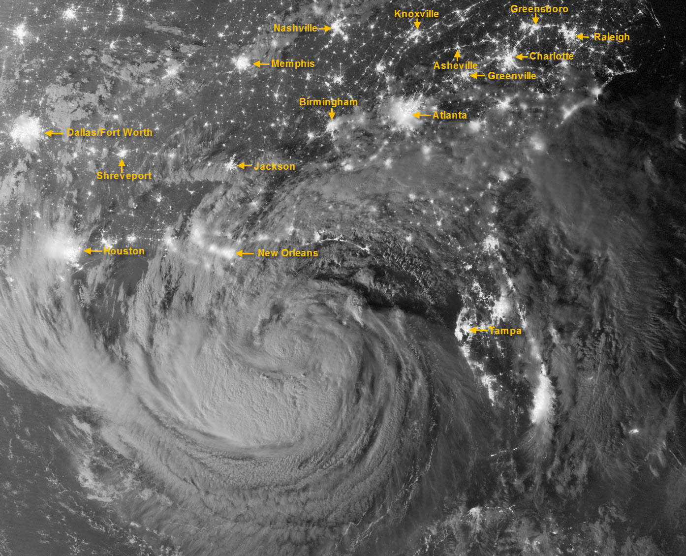
This amazing image of Tropical Storm Isaac was captured just after midnight on Tuesday, Aug. 28, by the Visible Infrared Imaging Radiometer Suite (VIIRS) on the Suomi-NPP satellite. Still off the Gulf Coast, Isaac’s clouds were lit by moonlight and the lights of cities across the Southeast U.S. are clearly visible. I’ve added labels for some of the more visible metropolitan areas, including Asheville.

Close


