“One way or another, the Great Being in the Sky will persuade people, mostly Floridians, that Asheville isn’t the haven they once expected.”


“One way or another, the Great Being in the Sky will persuade people, mostly Floridians, that Asheville isn’t the haven they once expected.”

ASHEVILLE, NC

Last week’s heavy rainfall pushed E. coli levels in Asheville’s portion of the French Broad River past the Environmental Protection Agency’s safety threshold, posing a health threat to swimmers and tubers.
Asheville and the surrounding areas continue to see above normal rainfall during this wet spring. Now, add Tropical Storm Andrea into the mix – and you get atmospheric soup (pass the crackers!)
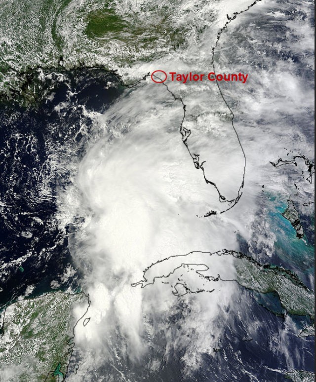
Image credit: NASA’s Terra satellite (with annotation by Pamela McC
Our wet spring has helped to bring an amazing display of color across the region as the Rhododendron are in bloom across many of the higher elevations. If you’re socked in, listening to the Sunday rain, keep in mind that colorful flowers may soon follow.

Timing is everything, especially when weather conditions change as quickly as they do in the mountains. Tuesday morning, Feb. 19, brought huge fluffy snowflakes to the higher elevations, quickly adding up to a couple of inches of snow. The whiplash of a day ended with a stunning sunset that was enhanced by concentric halos around the setting sun. 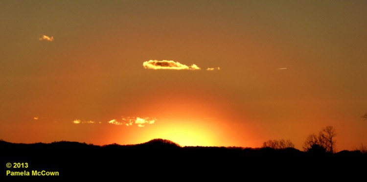
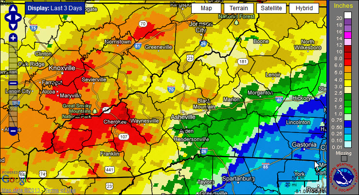
After three days of rain, many locations in Western North Carolina have reported significant rainfall. Now, the larger-scale weather pattern appears to be shifting into a more winter-like pattern for the Eastern U.S., with a significant winter storm expected later today and arctic air moving in over the weekend. So, hold on: It looks like it’s going to be a bumpy ride!
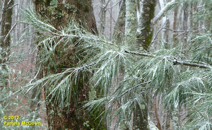
The month of December had been off to a warm start in Western North Carolina, with the average temperature in Asheville for the first 10 days of the month reported at 10.2° F above normal. However, Dec. 10’s nighttime cold front brought an end to the warmth. It is feeling like the holiday season has finally arrived — even bringing some light snow to the higher elevations in WNC. The image below shows a light dusting of fine snow on a white pine at 4,000 ft in Madison County on Tuesday morning, Dec. 11.
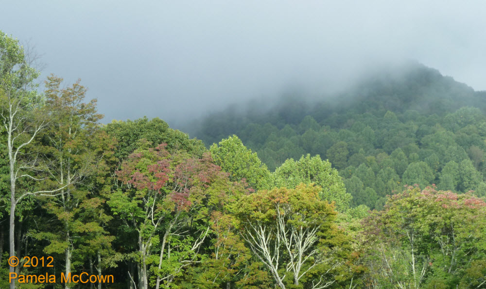
The beginning of this week started with significant rainfall over the region thanks to a large weather system that dumped a record amount of rainfall in Asheville on Tuesday, Sept. 18, and provided more rain in two days than we usually expect during the entire month of September! Our area’s rivers and streams are doing their job of transporting that water downstream — but the evidence of all that moisture was still hanging around early this morning in the form of low clouds. I shot the image below earlier today as the clouds were beginning to break at 4000 feet — revealing the early fall color that is starting to appear on ridgetops.
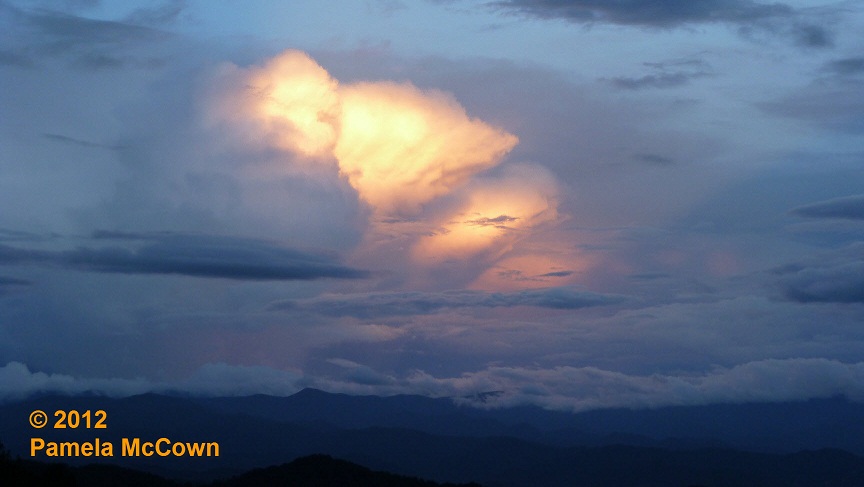
The scattered thunderstorms this week have created several opportunities to witness a weather phenomenon that you may have seen a number of times, but didn’t quite know what to call it.

It’s hard to overstate the importance of water to the Earth’s climate system. In its three phases — liquid, solid and gas — water helps to drive our local weather as well as our regional climate. Most of us don’t think about plain ol’ water too often, but it’s when we have too much or too little of this precious resource that we really pay attention to it.
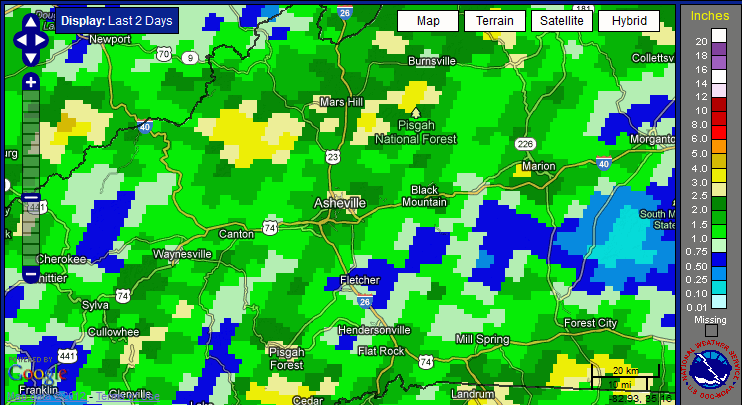
The stalled frontal boundary that is lingering over the Southeast U.S. has provided some much needed rainfall from Texas to the Atlantic Ocean — but some folks in Western North Carolina saw too much of a good thing on Wednesday, July 11, when more than 3 inches of rain fell in areas of both Buncombe and Madison Counties.

As the rain fell, Xpress reporter Caitlin Byrd aggregated tweets, photos and video taken of the July 11 rain in Asheville by using Storify. (photo by Bill Rhodes)
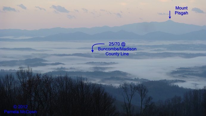
Many of us woke up Thursday morning to widespread fog across the French Broad River Valley, thanks to rains overnight that caused the layer of air at ground-level to become saturated – producing a cloud on the ground – or fog. Big changes are on the way with a strong cold front bringing an end to the mild weather on Friday.
As we head into February, Western North Carolina continues to see plentiful rain as a steady stream of weather systems spread rainfall across the southern plains and into our area.

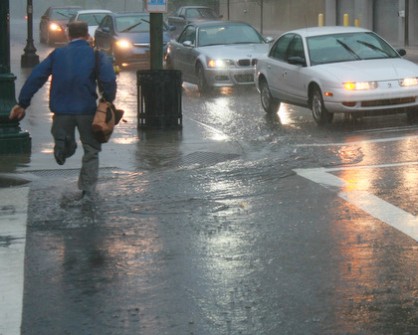
A storm system rolled through the Asheville area late Tuesday afternoon, May 3. According to wundergorund.com’s weather stats, 0.65 inches of rain fell. Local photographer Jerry Nelson captured the downpour.
Never underestimate the weather. Sure, the French Broad River crested a tad above flood stage on May 27 at Blantyre, near Brevard. Yes, May has brought us more than 8 inches of rain (that’s nearly a record, twice what’s been typical since 1971, and definitely greater than 2008’s paltry 0.81 inches, according to the National […]