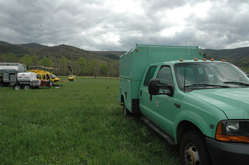
Asheville, in case you had not noticed, is surrounded by millions of acres of National Forests. The two closest to town are Pisgah and Nantahala National Forests. The U.S. Forest Service published the last land-and-resource management plan in 1987 and revised it in 1994. A lot has changed in our region since then.
A new plan is already under way. The first phase is assessment, during which time, the Forest Service will collect data and information. Part of that phase will include a number of pubic meetings to get input from the public. They call this phase 1, and it is projected to run through Fall 2013.
Phase 2 is the planning period, currently projected to run from Fall 2013 and into 2015 or 2016.
Phase 3 is the monitoring period, from early 2016 and beyond.
In May 2012, the USFS changed the rules on how plans are produced. The plan for Pisgah and Natahala National Forests will be among the first to follow the new rules.
The USFS wants the public to remember that collaboration is the keystone for revising the plan. Public input throughout the revision process will help ensure that the needs of the wide variety of stakeholders who enjoy the Nantahala and Pisgah National Forests each year are met. There will be numerous opportunities to meet with the Forest Service and provide input to the plan.
From the USFS web page
Phase 1: Assessment
During this phase, the Forest Service will collect and compile data and other existing information on the current state of the Nantahala and Pisgah National Forests. The assessment phase will focus on evaluating existing information about ecological, economic, and social conditions, trends, and sustainability and their relationship to the land management plan. A number of public meetings will take place to receive input from stakeholders during this period. This phase begins in November 2012 and will be completed in late 2013 with an assessment report that will be made available to the public.The following elements will be considered in the Assessment Phase:
• Terrestrial ecosystems, aquatic ecosystems and watersheds.
• Air, soil and water resources and quality.
• System drivers, including dominant ecological processes, disturbance regimes, and stressors, such as natural succession, wildland fire, invasive species, and climate change, and the ability of terrestrial and aquatic ecosystems on the plan area to adapt to change.
• Baseline assessment of carbon stocks.
• Threatened, endangered, proposed and candidate species, and potential species of conservation concern present in the plan area.
• Social, cultural and economic conditions.
• Benefits people obtain from the National Forest System planning area.
• Multiple uses and their contributions to local, regional and national economies.
• Recreation settings, opportunities and access, and scenic character.
• Renewable and nonrenewable energy and mineral resources.
• Infrastructure, such as recreational facilities and transportation and utility corridors.
• Areas of tribal importance.
• Cultural and historic resources and uses.
• Land status and ownership, use and access patterns.
• Existing designated areas located in the plan area including wilderness and wild and scenic rivers and potential need and opportunity for additional designated areas.


Before you comment
The comments section is here to provide a platform for civil dialogue on the issues we face together as a local community. Xpress is committed to offering this platform for all voices, but when the tone of the discussion gets nasty or strays off topic, we believe many people choose not to participate. Xpress editors are determined to moderate comments to ensure a constructive interchange is maintained. All comments judged not to be in keeping with the spirit of civil discourse will be removed and repeat violators will be banned. See here for our terms of service. Thank you for being part of this effort to promote respectful discussion.