


After a wet April, it looks like the large-scale weather pattern will not shift much as we head into this first week of May. And, while Asheville received above normal rainfall for the month of April, some locations west of the French Broad River Valley were soaked with over 14 inches of rain.
Tag: institute for climate education
Showing 1-16 of 16 results
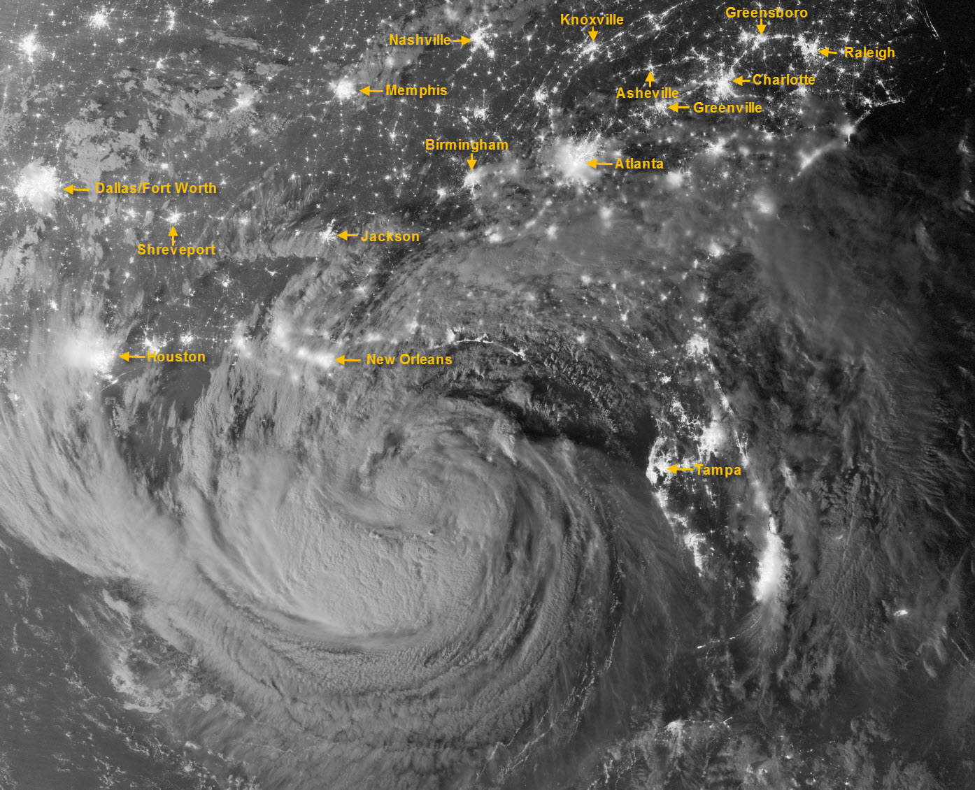
Isaac takes the coast by storm (at night!)
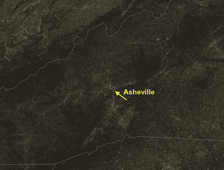
This amazing image of Tropical Storm Isaac was captured just after midnight on Tuesday, Aug. 28, by the Visible Infrared Imaging Radiometer Suite (VIIRS) on the Suomi-NPP satellite. Still off the Gulf Coast, Isaac’s clouds were lit by moonlight and the lights of cities across the Southeast U.S. are clearly visible. I’ve added labels for some of the more visible metropolitan areas, including Asheville.
It’s the summer of the Haves and the Have Nots – with a meteor shower to boot
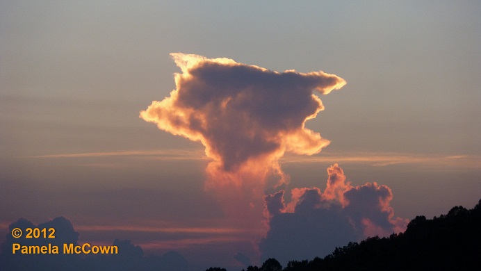
The story of this summer has certainly been that of climate extremes. In Western North Carolina, we’ve had quite a bit of rain, while well over half of the lower 48 states remain in drought. Our moist summer has produced jungle-like conditions in many of our yards (errr — maybe just mine), but has also produced some breathtaking sunsets with all the moisture in the air.
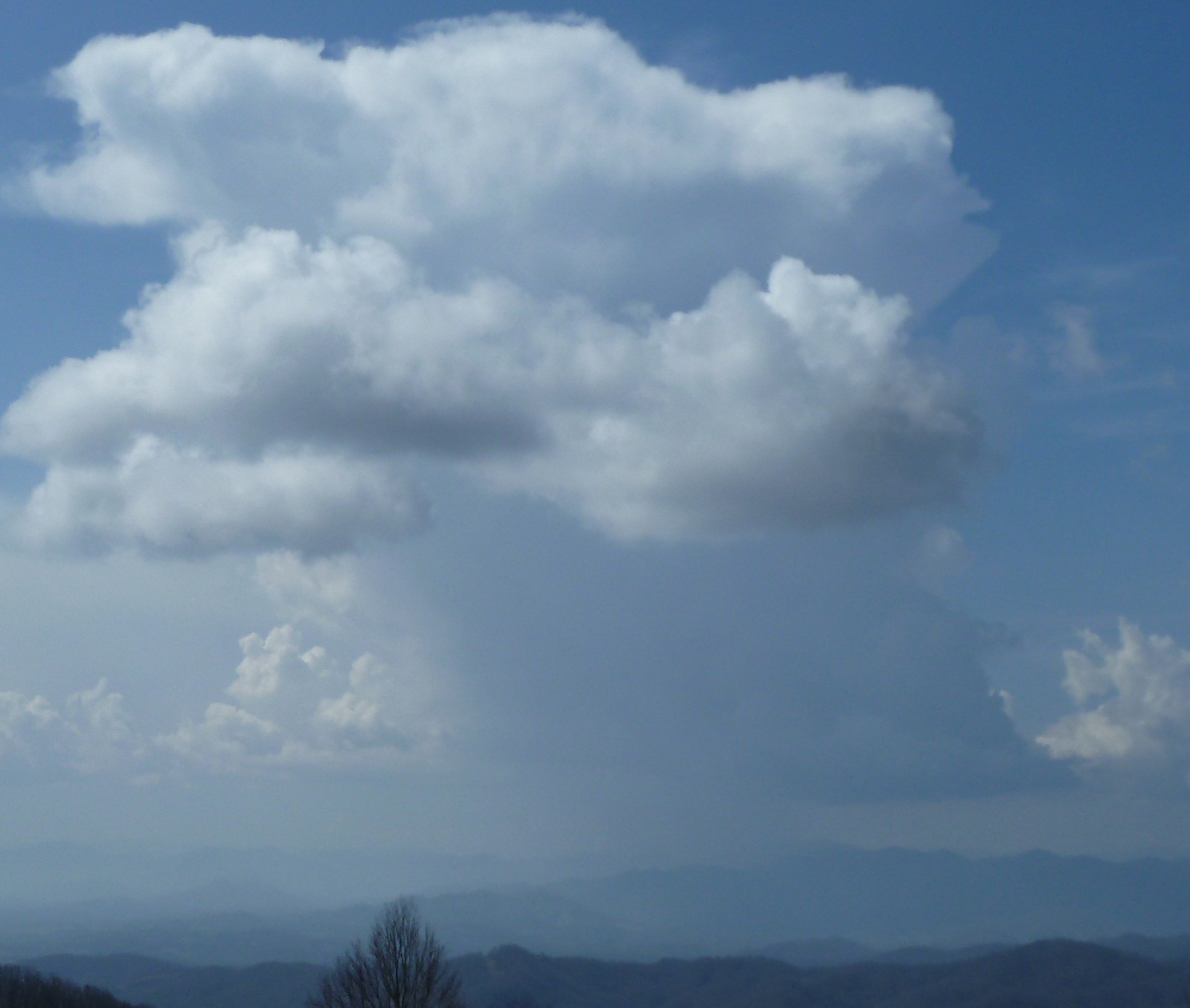
The mysterious disappearing rain
The scattered thunderstorms this week have created several opportunities to witness a weather phenomenon that you may have seen a number of times, but didn’t quite know what to call it.
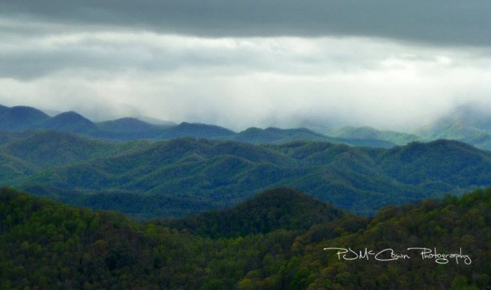
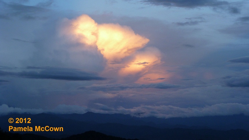
A stormy pattern – but so much better than the alternative
It’s hard to overstate the importance of water to the Earth’s climate system. In its three phases — liquid, solid and gas — water helps to drive our local weather as well as our regional climate. Most of us don’t think about plain ol’ water too often, but it’s when we have too much or too little of this precious resource that we really pay attention to it.
Venus in transit: A rare event gives us some perspective
Life is crazy, busy, I know. We get so focused on daily activities that we often forget what a wondrous and amazingly large universe we live in. Occasionally, we get a glimpse of that reality and it never fails to leave us awestruck. Such was the case on June 5, when we were treated to a rare event during which we were able to see one of the two inner planets of our solar system, Venus in this case, pass in front of our Sun, an event called a transit. ![]()
The greening of the mountains
One of the most amazing transformations in nature is on display right here in Western North Carolina as trees and vegetation come alive in the spring.
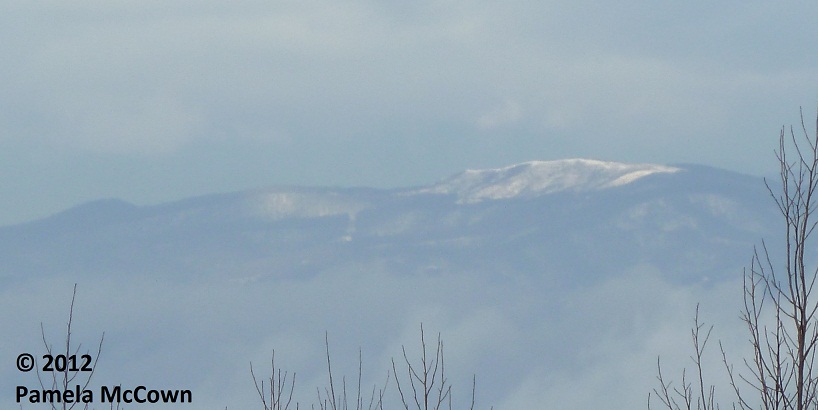
Late-April snow? It’s spring in WNC
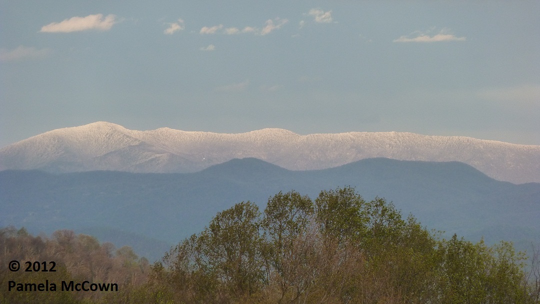
While snow in April is not unheard of in Western North Carolina – this past weekend’s snow event seemed out of place, partly because
we had such a warm March this year.
Spring’s scattered thunderstorms return to the mountains
For many of us in the mountains, it seems that spring has sprung almost overnight as trees are flowering, birds are singing and allergies have hit full force (cough, cough). Another sure sign of spring: Scattered thunderstorms that pop up in the heat of the sun.
The word of the season is . . . variability
As we say goodbye to February and hello to the coming spring — you’ll notice how changes to our environment seem to happen very quickly this time of year.
The weather seesaw returns
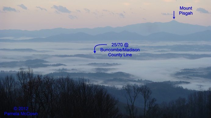
Many of us woke up Thursday morning to widespread fog across the French Broad River Valley, thanks to rains overnight that caused the layer of air at ground-level to become saturated – producing a cloud on the ground – or fog. Big changes are on the way with a strong cold front bringing an end to the mild weather on Friday.
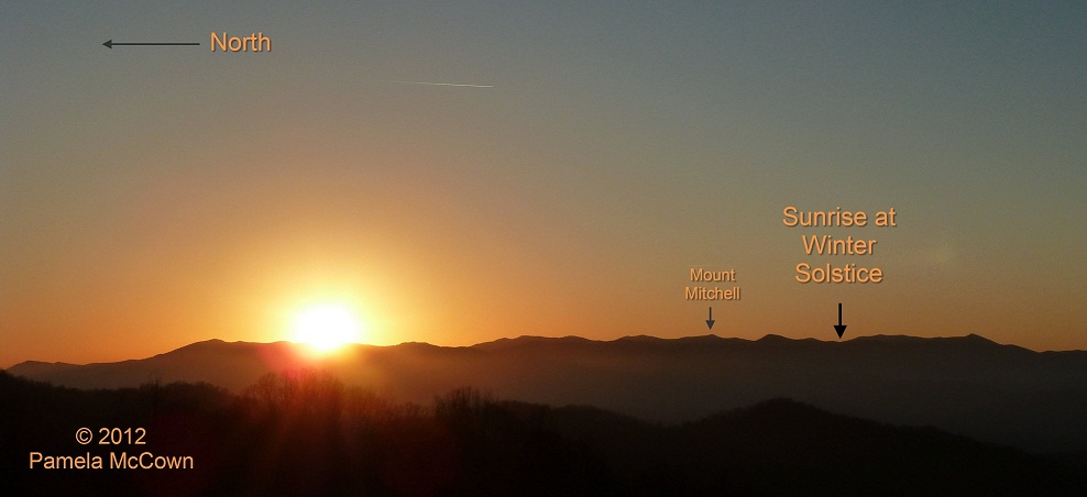
Where is winter? Look to the polar vortex
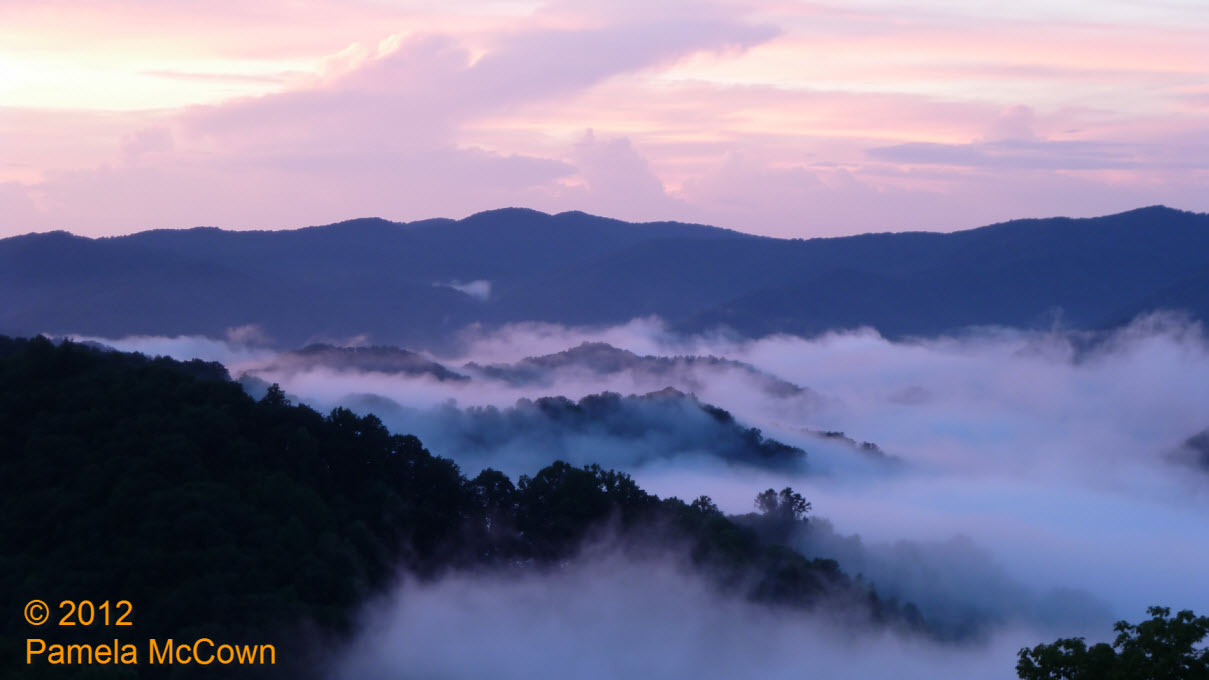
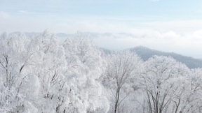
Snowflakes were flying earlier this week, as Valentine’s Day started off white at the higher elevations.
Snowflakes were flying earlier this week, as Valentine’s Day started off white at the higher elevations. This image of Max Patch in western Madison County shows the short-lived snow. So – what has happened to this winter? Why has it been so different than the last two years?
W is for water – not winter (apparently) in WNC
As we head into February, Western North Carolina continues to see plentiful rain as a steady stream of weather systems spread rainfall across the southern plains and into our area.

Our planet – A unique view of a truly unique place!
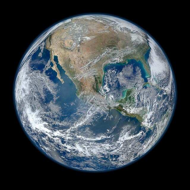
From the first full image of our planet shot by Apollo astronauts to the latest full disk image produced by NASA’s Suomi NPP satellite — we continue to marvel at the beauty of our unique planet as we gather critical data about its weather and climate.
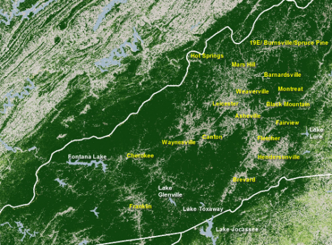
Where the trees are in WNC
Pamela McCown from AB-Tech’s Institute for Climate Education sent us this cool graphic, using NASA satellite data to show forest cover in green over Western North Carolina. Learn more about what’s on tap for discovery at the Institute within.
NOAA meteorologist offers seasonal forecast for WNC winter
A winter weather advisory has been issued for the Western North Carolina mountains today, Dec. 7, beginning at 4 p.m. Last night, NOAA meteorologist Tom Ross presented a look at the long-range winter forecast for WNC: Ashevillians may enjoy (or complain about) plenty of snow again this winter.