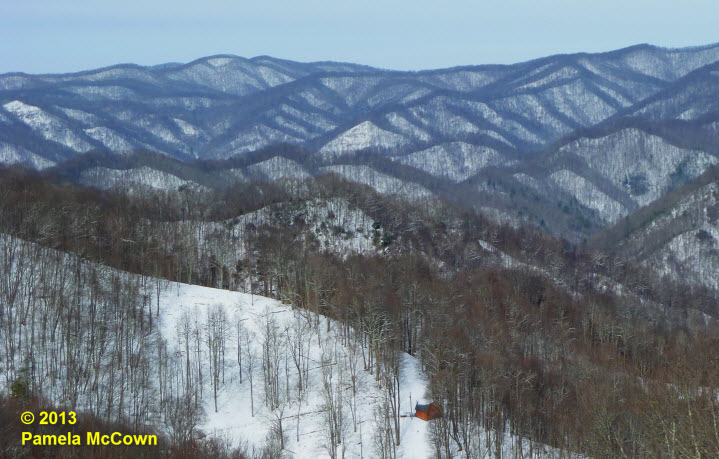
Western North Carolina can seem like a land divided at times. The complex terrain of this region has a significant impact on the climate and the type of weather that we experience at any given location. The higher elevations experienced significant snow though out the multi-day event, while many folks in the valley were left with just a few flurries.
Tag: winter
Showing 22-32 of 32 results
Winter is about to arrive
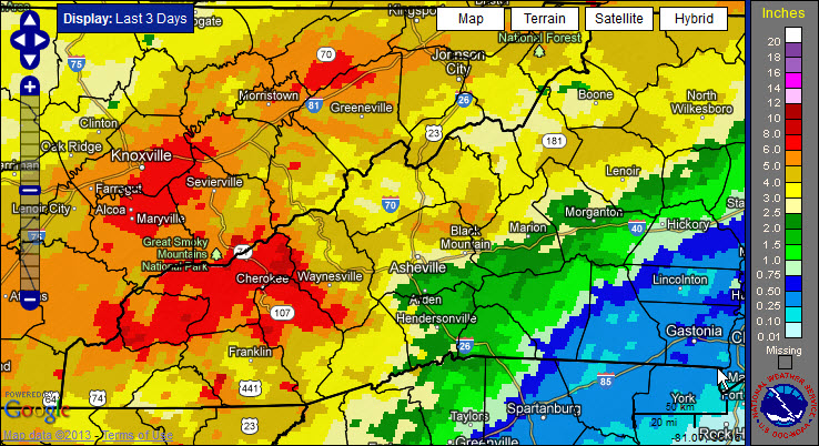
After three days of rain, many locations in Western North Carolina have reported significant rainfall. Now, the larger-scale weather pattern appears to be shifting into a more winter-like pattern for the Eastern U.S., with a significant winter storm expected later today and arctic air moving in over the weekend. So, hold on: It looks like it’s going to be a bumpy ride!
National Weather Service: ‘High Wind Warning’ for Buncombe County
The National Weather Service has issued a “High Wind Warning” for much of Western North Carolina, including Buncombe County.
Xpress holiday art contest – Deadline Extended
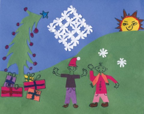
The deadline for the Mountain Xpress holiday art contest has been extended – Monday, Dec. 3.
Inversion and balloons (much better than inverted balloons)
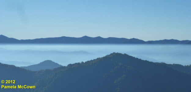
Fall brings many changes to Western North Carolina, from the turning of the leaves to the turning up of the thermostat. These cooler nights mean that many of us are heating our homes with wood-burning stoves and fireplaces to ward off the chill. Most of the time, the wood smoke (along with other particulates that are in the air) mix through much of the lowest layer of our atmosphere, called the troposphere. But when the air is cool and the winds are calm, we can occasionally see those tiny particles concentrated in the early morning air under what meteorologists call a radiational temperature inversion. Such was the case this morning, as you can see in the image below from Madison County, looking to the southeast across the valley toward the Craggies (image center) and the Blue Ridge Parkway.
Fog: Does that mean WNC will have snowy winter days?
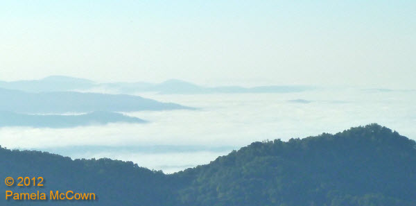
Fog has been a common morning feature across the valleys in Western North Carolina for much of the summer and early fall. And while fog causes concern for travel because it reduces visibility, could it also be possible that the fog may be warning us of the coming winter?
Where is winter? Look to the polar vortex
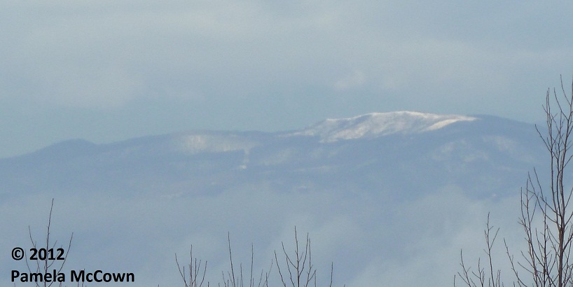
Snowflakes were flying earlier this week, as Valentine’s Day started off white at the higher elevations.
Snowflakes were flying earlier this week, as Valentine’s Day started off white at the higher elevations. This image of Max Patch in western Madison County shows the short-lived snow. So – what has happened to this winter? Why has it been so different than the last two years?
Tomorrow’s solstice marks the first day of winter
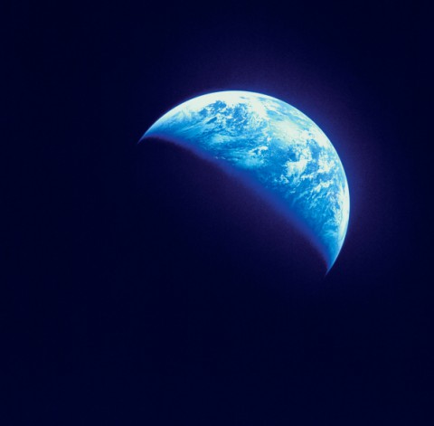
The solstice occurs in Asheville at 12:30 a.m. tomorrow morning, Dec. 22, marking the beginning of winter. At that moment, the Earth’s axis will tilt the Northern Hemisphere at its largest angle away from the sun, according to Pamela McCown, coordinator at the A-B Tech Institute for Climate Education.
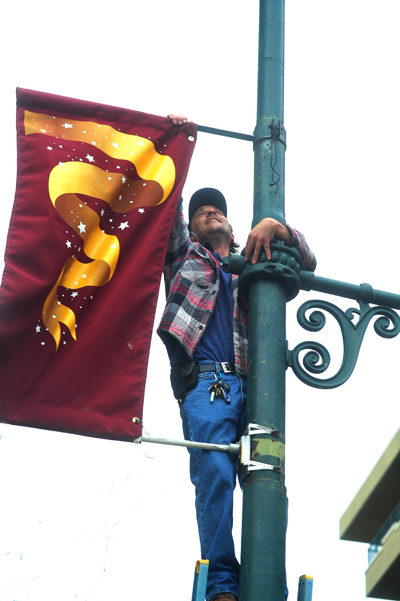
Seasonal banner change for downtown streets
Chris Ort up a ladder changing the banners on downtown streets on a windy Wednesday.
Winter covered Craggy Gardens in rime ice Oct. 29 (video)

At 5,500 feet above sea level, the clouds often touch Craggy Gardens. And winter comes sooner, as it did Oct. 29. Video by RomanticAsheville.

The Beat: Snowpocalypse strikes again
Unusually cold and snowy weather dominated headlines last week. In the wake of the frozen onslaught, famed WNC forecaster Ray Russell issued a “death notice” on his long-range prediction for a mild winter.


