


Tag: cold
Showing 1-6 of 6 results
Oof that’s cold: A Storify view of today’s bitter cold spell
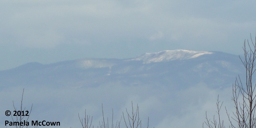
From -16 on the mountaintops to 9 degrees in Lake Lure, the WNC region went into deep freeze on Jan. 8.

Cold times: Asheville tackles bitter temperatures ***UPDATED 10 A.M.***
Thanks to a “bitterly cold arctic air mass,” in the National Weather Service’s words, Ashevilleans are grappling with “the coldest temperatures in many years,” with temperatures hitting minus 2 and wind chill as low as minus 24. The NWS warns of bad roadway conditions due to ice and snow and “dangerous wind chills.” Both city and county school systems are closed today, Jan. 7, and the Red Cross has opened warming shelters in some counties.
Warming up: finally
No doubt about it, late winter and early spring in Western North Carolina have been cooler and wetter than we normally expect. But it looks like the coming weekend should bring some much needed sunshine and a return to near normal temperatures. Just remember: The risk for frost and freeze is not over just yet.
December makes its big entrance
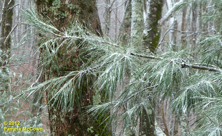
The month of December had been off to a warm start in Western North Carolina, with the average temperature in Asheville for the first 10 days of the month reported at 10.2° F above normal. However, Dec. 10’s nighttime cold front brought an end to the warmth. It is feeling like the holiday season has finally arrived — even bringing some light snow to the higher elevations in WNC. The image below shows a light dusting of fine snow on a white pine at 4,000 ft in Madison County on Tuesday morning, Dec. 11.
Where is winter? Look to the polar vortex
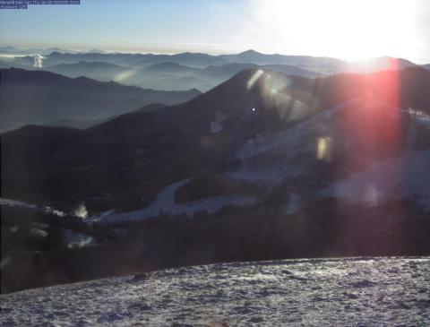
Snowflakes were flying earlier this week, as Valentine’s Day started off white at the higher elevations.
Snowflakes were flying earlier this week, as Valentine’s Day started off white at the higher elevations. This image of Max Patch in western Madison County shows the short-lived snow. So – what has happened to this winter? Why has it been so different than the last two years?
