Good morning, Asheville.
If you haven’t already noticed, it snowed quite a bit. Here’s what Ashevilleans have to say about today’s weather.

Good morning, Asheville.
If you haven’t already noticed, it snowed quite a bit. Here’s what Ashevilleans have to say about today’s weather.
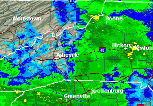
While forecasting a brief respite around the middle of the day, the National Weather Service is warning Asheville area residents to be careful of ice, especially as they’re calling for more tonight.

Work continues near the intersection of Sunset Drive and Skyview Place in North Asheville to rebuild a major retaining wall and repair damage caused by a July landslide.
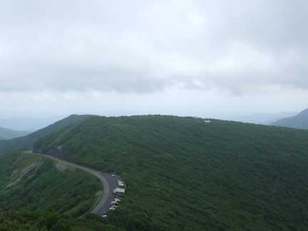
The Blue Ridge Parkway is now closed from Milepost 375, a few miles north of Asheville, to Milepost 355 at N.C. 128/Mount Mitchell State Park, according to the National Park Service.
With rain expected today, the National Weather Service has issued yet another flash flood warning for our area today.
Extensive rains across the region over the weekend caused numerous problems with flooded rivers, creeks, roads, downed trees and landslides. And we can look to a pesky area of low pressure that’s hanging out in our area as the instigator of all this trouble.
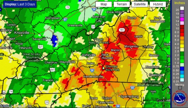
Due to continued flooding, the National Weather Service has issued a flood warning for Asheville and nearby areas through tomorrow morning. Several days of heavy rain have led to swollen rivers and floods washing out several roads.
After a wet April, it looks like the large-scale weather pattern will not shift much as we head into this first week of May. And, while Asheville received above normal rainfall for the month of April, some locations west of the French Broad River Valley were soaked with over 14 inches of rain.
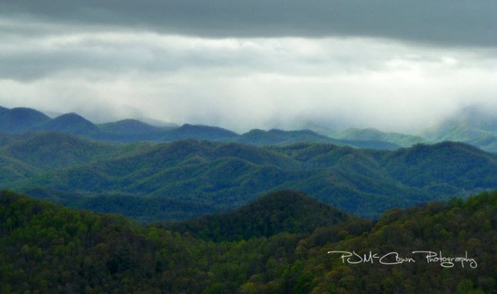
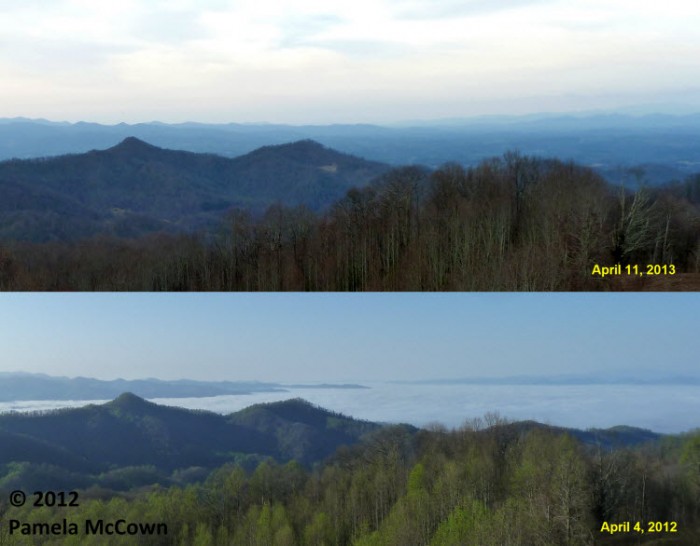
It’s amazing how different each year can be as the ever-changing seasons unfold before our eyes. You may remember that the spring of 2012 was warm — very warm, with average temperatures last March that were over 9 degrees above normal in Western North Carolina. This year has been significantly different.
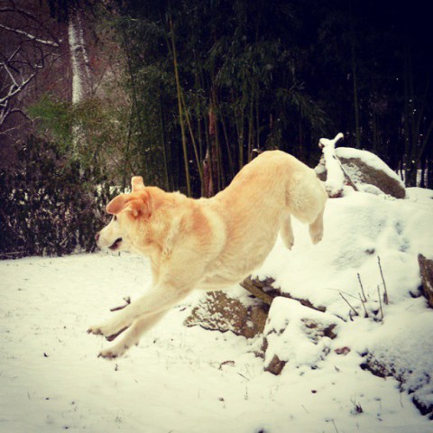
After a series of snow predictions that (literally) fell short of expectations this year, Western North Carolinians woke up to snow on March 6, 2013. These are the tweets, photos, video and more taken by folks at home, at work and out in the snow. This post will be updated throughout the day. (photo by Instagram user @Skippyhaha)
The National Weather Service issued a Winter Storm Watch for much of Western North Carolina, including Buncombe County, predicting snow Tuesday evening into Wednesday.
Timing is everything, especially when weather conditions change as quickly as they do in the mountains. Tuesday morning, Feb. 19, brought huge fluffy snowflakes to the higher elevations, quickly adding up to a couple of inches of snow. The whiplash of a day ended with a stunning sunset that was enhanced by concentric halos around the setting sun. 
More winter weather is headed our way, according to the National Weather service. A “wintry mix” of freezing rain, sleet, and light snow could make things tricky later tonight and during the Tuesday morning rush hour.
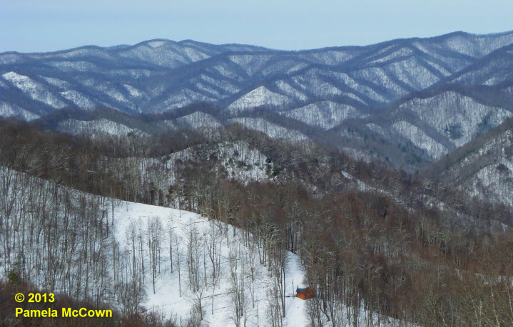
Western North Carolina can seem like a land divided at times. The complex terrain of this region has a significant impact on the climate and the type of weather that we experience at any given location. The higher elevations experienced significant snow though out the multi-day event, while many folks in the valley were left with just a few flurries.
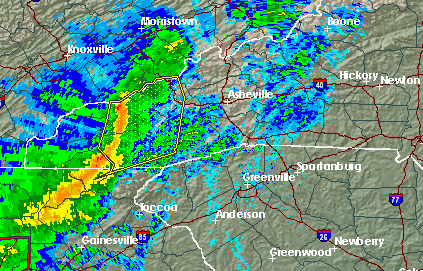
The National Weather Service has issued a special weather statement warning that severe thunderstorms are possible this afternoon and early evening across most of WNC, including Buncombe County. UPDATE: The NWS has issued a Tornado Watch for Buncombe County until 8 p.m.
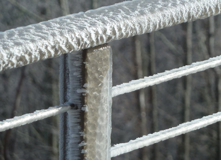
Last week’s ice-and-sleet storm left a mess in several counties across Western North Carolina. The complex temperature structure in the atmosphere resulted in a thick coating of ice in some areas, but produced just rain in others. Now, after several days of spring-like temperatures, spring-like thunderstorms will impact the region on Wednesday, Jan. 30. A High Wind Warning has been issued by the NWS.

A Storify roundup of ice reports, photos and more from Twitter about today’s icy conditions. (Photo by Caitlin Byrd)
Twitter is abuzz with reports of increasingly icy conditions across Asheville and Western North Carolina, causing hazardous driving conditions and other problems.
The whole region is under an ice storm warning today, as the National Weather Service cautions residents about a “wintry mix” of ice and snow through this afternoon.
Winter can bring all kinds of challenges to the mountains — from cold and windy conditions like we’ve seen today to the threat for wintry weather. And, while snow can bring an almost festive vibe to our area, the threat of freezing rain or sleet is a whole other story.
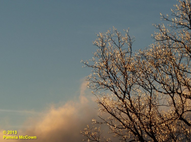
The National Weather Service is cautioning Buncombe and Madison residents about potentially hazardous “wintry mix of precipitation across the area” Friday.